OutdoorCaptain 3D offline map
Moritzzzzz
-
تازہ کاری
2026-08-10
-
موجودہ ورژن
1.1.20
-
پیشکش بذریعہ

تفصیل
OutdoorCaptain navigates you through the outdoors!
Be the Captain wherever you are!
OutdoorCaptain is a 3D Map designed to facilitate navigation and orientation in mountainous terrain. It is kept light for good performance while providing the essential tools for mountaineers to navigate.
Initially it was developed as a product that combines the essentials to navigate in difficult terrain for mountain rescue units. I now offer it here so that everyone can enjoy these fast and detailed maps.
OutdoorCaptain offers
- 3D topographic maps
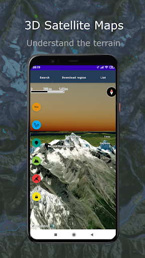
- 3D satellite maps
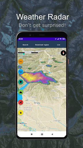
- built-in rain radar
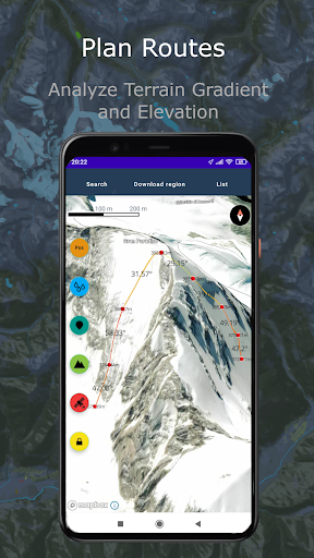
- slope calculator
- route planning with slope calculation, both on road network and off road network
- GPX support
- position and elevation details
- address / POI search
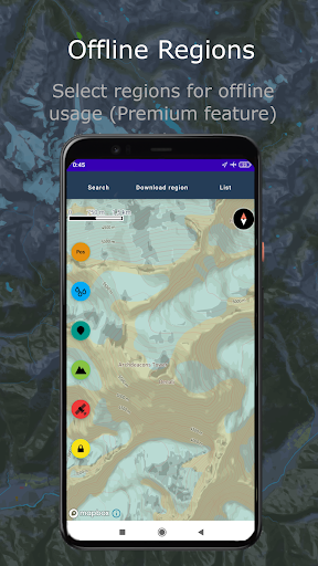
- free offline maps downloads
- AR target finder
- Line of Sight analysis
Be the Captain wherever you are!
OutdoorCaptain is a 3D Map designed to facilitate navigation and orientation in mountainous terrain. It is kept light for good performance while providing the essential tools for mountaineers to navigate.
Initially it was developed as a product that combines the essentials to navigate in difficult terrain for mountain rescue units. I now offer it here so that everyone can enjoy these fast and detailed maps.
OutdoorCaptain offers
- 3D topographic maps
- 3D satellite maps
- built-in rain radar
- slope calculator
- route planning with slope calculation, both on road network and off road network
- GPX support
- position and elevation details
- address / POI search
- free offline maps downloads
- AR target finder
- Line of Sight analysis
مزید دکھائیں
OTHERS:MAP_AND_NAVIGATION
ورژن 1.3.5 میں کیا نیا ہے؟
آخری بار اپ ڈیٹ کیا گیا: Aug 10,2026
چھوٹی بگ فکسز اور بہتریاں۔ نیا ورژن انسٹال یا اپ ڈیٹ کریں تاکہ اس کا جائزہ لے سکیں!
کم دکھائیں
اسکرین شاٹس
معلومات
-
تازہ کاری2026-08-10
-
موجودہ ورژن1.1.20
-
پیشکش بذریعہ

-
Apk سائز0MB
-
اینڈرائیڈ کی ضرورت ہےAndroid 4.4+