Opis
Configurable, elevation-aware (bike-) Router for OFFLINE Navigation based on open data. Works in conjunction with a Map Application.
See http://brouter.de/brouter for more documenation
See http://brouter.de/brouter-web for an online version.
*** If you do not know one of the supporting map applications, then the BRouter-App is useless for you. Download only if you are willing to spend some time to understand the setup. No one-star reviews from the unpatient please! email for problems ***
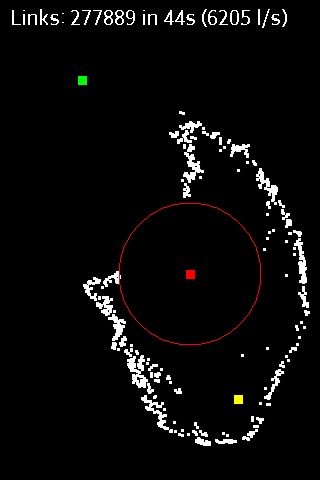
BRouter does only the plain route-calculation and does not display a map or the calculated route on it's own and therefore works only together with a Map Application. There are two different methods for the interfacing between BRouter and the Map application: BRouter offers a service interface that is called by the map application without a need to start the BRouter-App. This way, BRouter is a routing service very much like an online routing service, including dynamic recalculations if you get off the track. The other mode of operation is to start the BRouter-App and use waypoints from the map application's waypoint database to define your route. The calculated route is then written as a GPX file (including the elevation profile) to the map-application's tracks directory.
Some popular map apps support both the service interface and the interface via the wayoint database in their current versions available on Google Play.
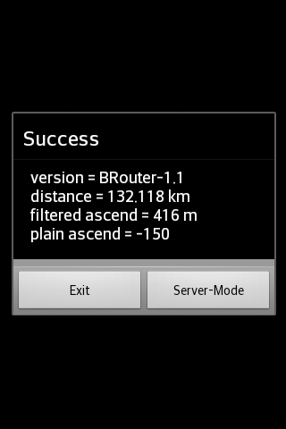
The service interface uses a timeout of 60s, limiting it's use to distances of about 50km, but using the BRouter App you are able to calculate much longer distances. But even long-distance tracks can be followed via the service interface (including dynamic recalculations). This is done by pre-calculating a route for your destination once using the BRouter App and assigning it to a routing mode via the "Server-Mode" Button. This feature is called "timeout-free recalculations".
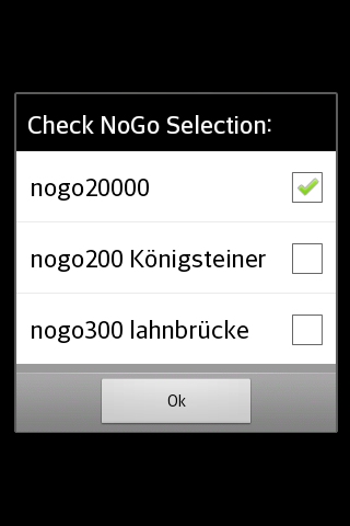
The route calculation, no matter if via the service interface or via the BRouter App, also considers nogo areas that can be defined as waypoints with a special naming convention (e.g. "nogo200" for 200m radius). This way it is possible to account for actual obstacles, but this feature can also be used to enforce personal preferences.
BRouter contains a download manager that assists downloading the required routing data files.The download manager is called on the first start of the app, and later on it is offered if internet access is available.
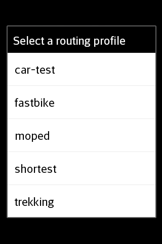
The mapping from one of the 6 routing modes (car/bike/foot * fast/short), that are used traditionally by routing services, and BRouter's concept of fully configurable routing profiles get's the following default mapping after the installation of BRouter:
car-fast -> car-test
car-short -> moped
bike-fast -> fastbike
bike-short -> trekking
foot-fast -> shortest
foot-short -> shortest
This mapping, however, can by changed anytime via the "Server-Mode" Button of the BRouter App. But also the routing profile definitions can be changed or new ones can be created.
Routing for cars is is currently available only in an experimental state ("car-test") and is not recommend. For example, turn-restriction are not taken into account.
Pokaż więcej
OTHERS:MAP_AND_NAVIGATION
Co nowego w wersji 1.3.5
Ostatnia aktualizacja: Jan 13,2025
Drobne poprawki błędów i ulepszenia. Zainstaluj lub zaktualizuj do najnowszej wersji, aby sprawdzić!
Pokaż mniej
Zrzuty ekranu
Informacja
-
Zaktualizowano2025-01-13
-
Aktualna wersja1.7.7
-
Rozmiar APK0MB
-
Wymaga systemu AndroidAndroid 4.4+


